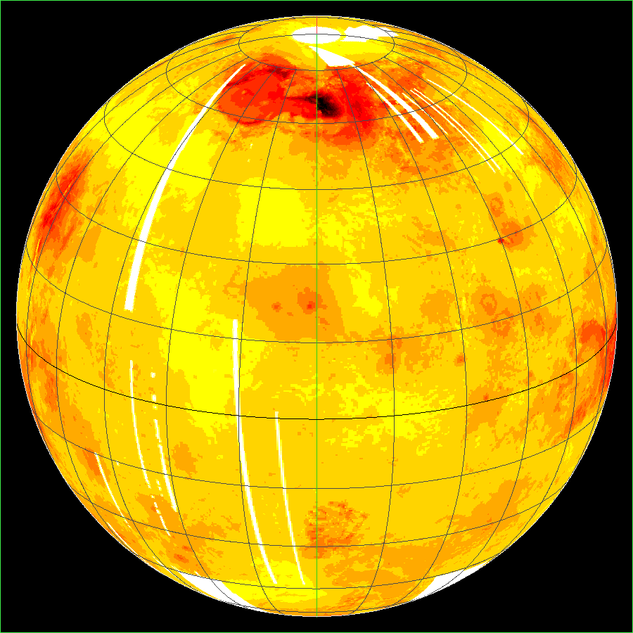
"The Magellan spacecraft was launched on May 4, 1989, arrived at Venus on
August 10, 1990 and was inserted into a near-polar elliptical orbit with
a periapsis altitude of 294 km at 9.5 deg. N. Radio contact with Magellan
was lost on October 12, 1994. The primary objectives of the Magellan
mission were to map the surface of Venus with a synthetic aperture radar
(SAR) and to determine the topographic relief of the planet. At the
completion of radar mapping 98% of the surface was imaged at resolutions
better than 100 m, and many areas were imaged multiple times."
NOTE: This is a 16-bit binary
dataset so pick the version that matches your architecture. Most
computers are big-endian (BE), with x86 and VAX being the notable
little-endian (LE) exceptions.
|