
|
|
World Maps |
|
Public domain world maps:
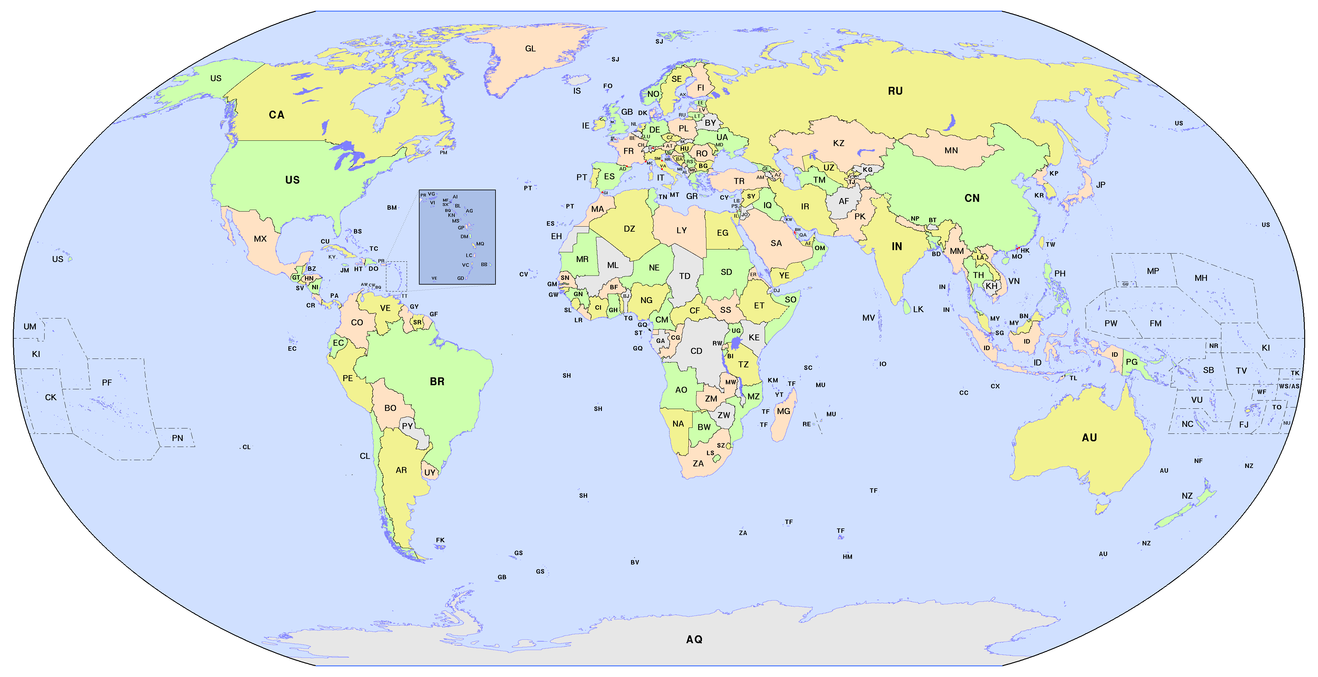
| Political world maps: colored countries (Robinson projection) | ||
Blank (no labels)
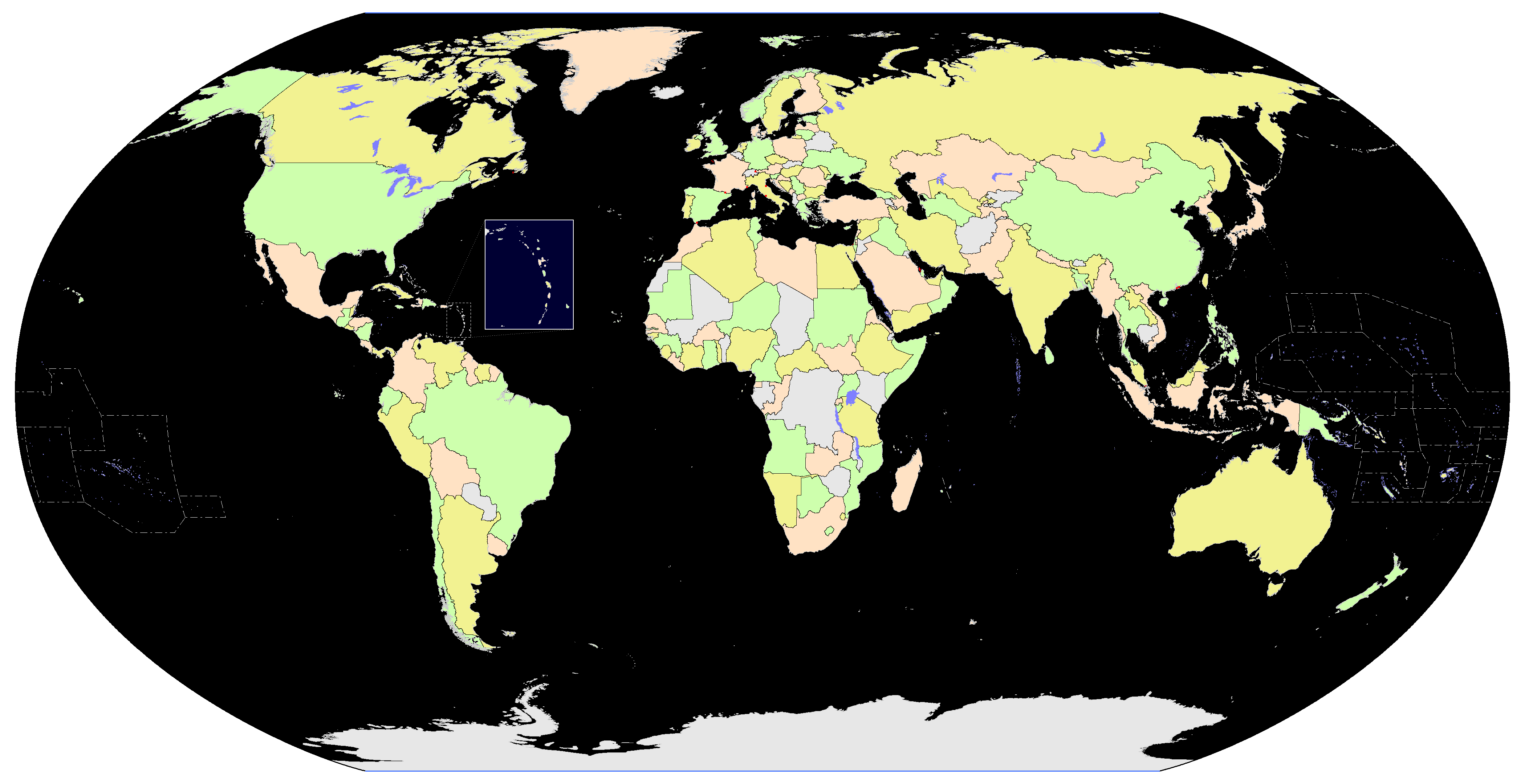 GIF: 170KB, 4200 × 2160 |
 GIF: 196KB, 4200 × 2160 |
Full place name
 GIF: 255KB, 4200 × 2160 |
 GIF: 170KB, 4200 × 2160 |
 GIF: 199KB, 4200 × 2160 |
 GIF: 259KB, 4200 × 2160 |
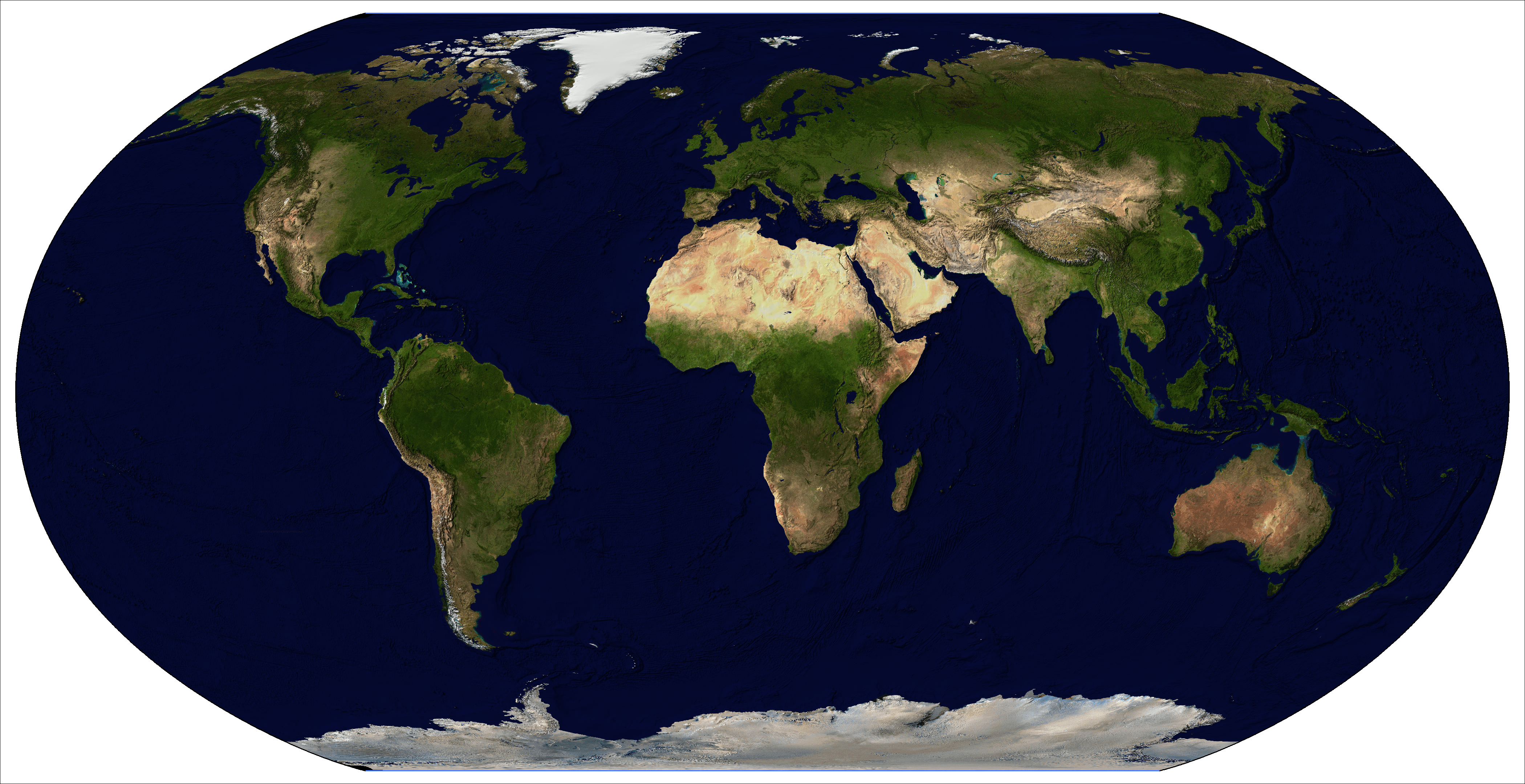
| Blue Marble hill-shaded with ETOPO2v2 (Robinson projection) | ||
 No borders
PNG: 10MB,
JPG: 1.7MB4200 × 2160 |
 +Political borders (land)
PNG: 10MB,
JPG: 1.8MB4200 × 2160 |
 +Political borders (land/sea)
PNG: 10MB,
JPG: 1.8MB4200 × 2160 |
| ETOPO2v2 for false coloring (elevation) and hill shading | ||
 |
 |
 |
Robinson
PNG: 16MB,
JPG: 3.9MB4200 × 2500 |
Goode (interrupted/land)
PNG: 12.4MB,
JPG: 3.1MB4200 × 2160 |
Mollweide (interrupted/seas)
PNG: 14.8MB,
JPG: 3.6MB4200 × 2460 |